premier Drone Service provider Based In Tampa, FL.
The difference is in the experience
High-quality aerial AND GROUND photo, video, and data services
Safe, experienced pilots using the latest unmanned technology
Over 5,000 miles of T&D lines FLOWN, OVER 15,000 wind turbines inspected, OVER 1,000 ACRES MAPPED
services offered nationwide with missions flown in 40+ states
LICENSED AND INSURED
Aerial media featured in TV commercials and documentary films
Established in february 2016, pioneering before FAA Part 107 regulations
request a quote
OUR CORE CAPABILITIES INCLUDE:
utilities inspections
VPUAS can provide safe, efficient, and detailed assessments of critical infrastructure. Drones can access difficult areas, reduce inspection times, and minimize risks to personnel, offering precise data that enhances maintenance planning and operational reliability for utility companies.
MEDIA
We captures stunning aerial shots for film, TV, and commercials, providing unique perspectives that enhance storytelling. Drones offer dynamic, cost-effective solutions for creative and complex visuals, elevating the impact of media projects.
CONSULTING
We provide companies with the tools, training, and support needed to integrate UAS into their operations, ensuring safe operations and compliance with regulatory requirements.
emergency response
VPUAS can provide real-time aerial insights, locating individuals, and assessing dangerous areas quickly and safely. Equipped with infrared and zoom capabilities, drones improve decision-making, reduce response times, and minimize risks to first responders, and utility workers.
fpv (first person view)
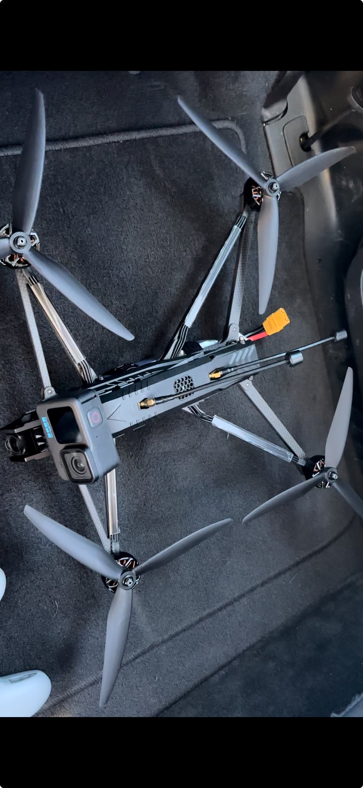
FPV drones are revolutionizing aerial video by capturing dynamic shots that traditional drones can't achieve. We can offer unique, fast-paced perspectives, perfect for action sequences, commercials, and unique visuals. With precise maneuverability, FPV can bring audiences closer to the action, delivering a thrilling viewing experience.
IR INSPECTIONS
We can detect issues invisible to the naked eye, such as heat loss, moisture encroachment, electrical faults, and equipment failures. Our thermal imaging provides precise, actionable data, enhancing maintenance planning, improving safety, and reducing downtime across industries.
CONSTRUCTION SERVICES
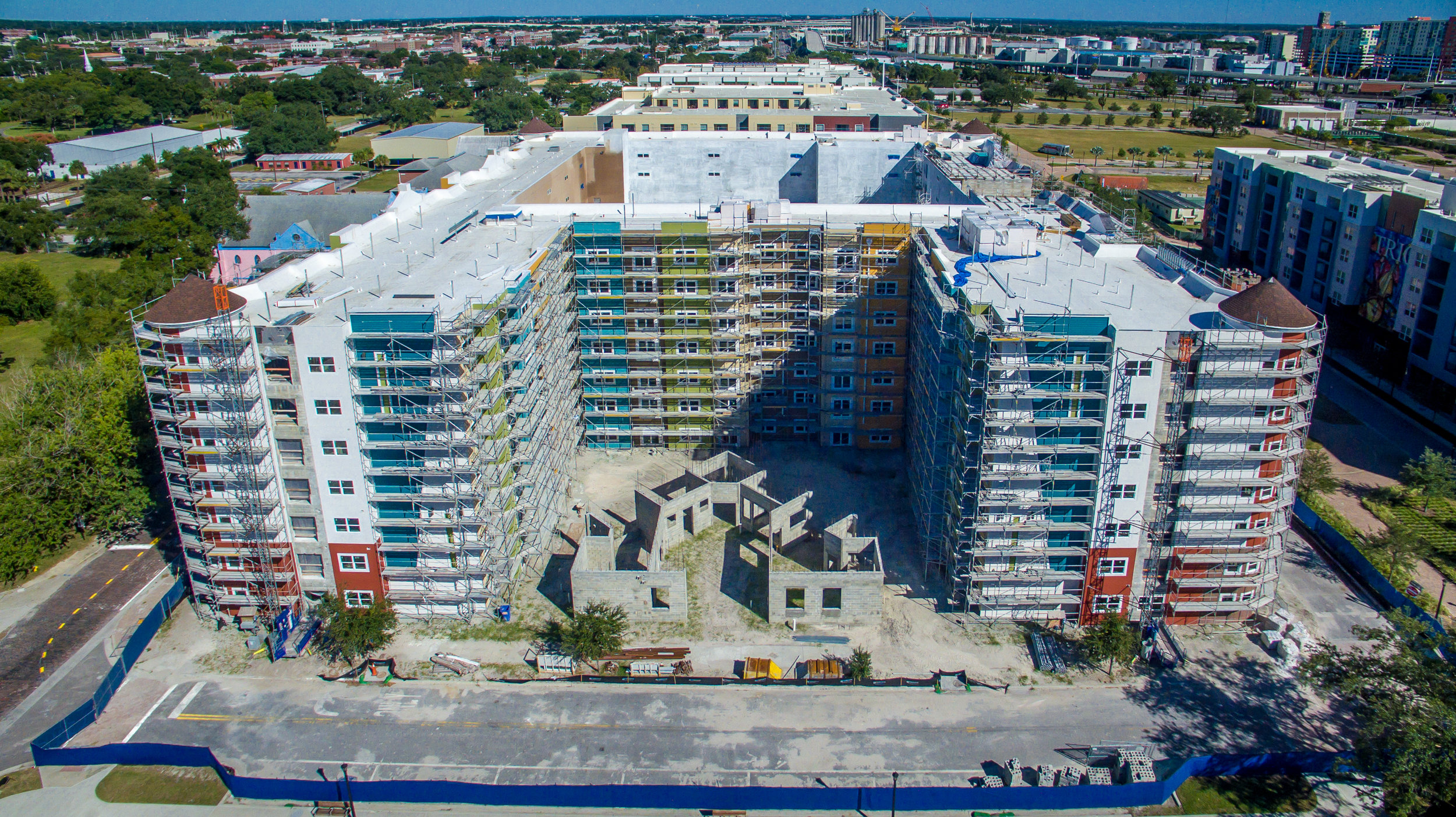
We use drones in the construction industry to simplify project management with consistent progress tracking, accurate volumetric measurements, and 3D mapping. Our advanced data solutions enhance accuracy and efficiency, making construction oversight and decision-making faster and easier than ever.
pilot network
Our nationwide team of skilled pilots and visual observers ready to support during seasonal peaks and high-demand periods. Equipped to operate in diverse environments across industries, we provide reliable, flexible drone solutions tailored to meet your project needs efficiently and professionally.
precision ag
We can enhance crop management by providing detailed aerial data for monitoring plant health, detecting diseases, and optimizing irrigation. Decreasing Inputs and increasing yields.


